Wednesday, August 12, 2015

Snapshot of "Ende Desespereert Nimmer's House" at Ungaran


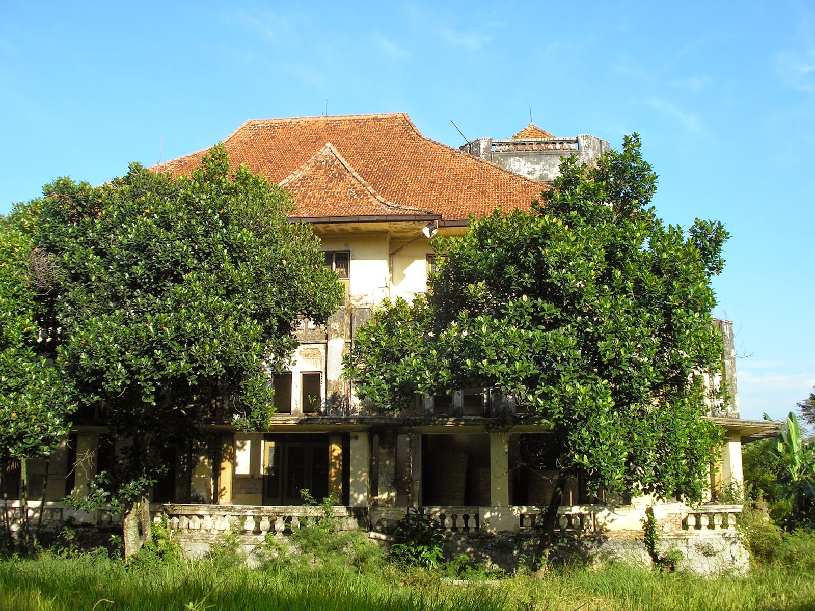
First time I saw this building, I was impressed with its large green front courtyard where the boys were playing football in an afternoon day. The building could be directly recognized when somebody passing the Ungaran main street. A question the raised, what kind old big building was stand behind the large courtyard? And finally, during long holiday on 2014 I have an opportunity to visit this place. And I have marked this place in a google maps link here https://www.google.co.id/maps/@-7.1190445,110.410433,165m/data=!3m1!1e3. And from Google Map data, I found that this old big building commonly known as "Gedung Kuning" or "Yellow Mansion".


The building is about more than 100 meters setback against the main street. The distance provide somebody with a feeling of visual and spatial processions before approaching the building. I guess this is a two-storey building with many nice open terraces at both lower and upper floor levels. The open terraces orientations are set-up in different direction of views.


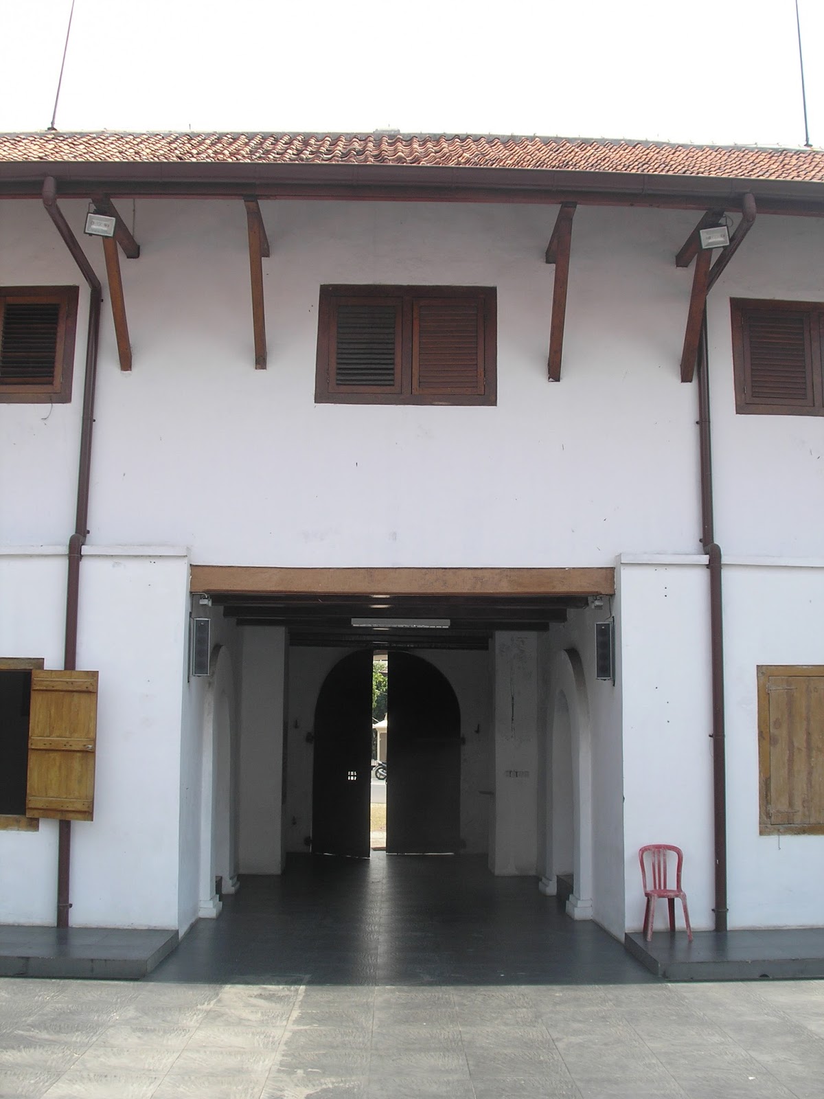
I think I have found a signage plate that is placed on front wall near main entry. This signage plate mentions that the building is owned by Indonesian Railway Company (PT Kereta Api Indonesia) a government owned company. And also mentioned in the signage plate that previously this building is identified as railway station building. But, I think I could not find any remaining railways are found around the building.

Another text signage are found and placed on the wall at upper terrace that facing to south direction.  I found text mentioning " 1916 - Ende Desespereert Nimmer - 1916", this is a white color color text within sky blue color background. 

Is the year 1916 indicating the year when this mansion is built? I found information in the internet sources that mentioning "Ende Desespereert Nimmer", and it was a name of Dutch football club in past time around the year of 1910.


Monday, August 10, 2015

Snapshot of Formerly Fort Willem II at Ungaran


This building is situated in the center of Ungaran city, a small hill city at south side of Semarang City. It situated directly beside of the main city street. It could be the iconic one. Currently, the building is functioned as Public Meeting Hall that managed by local Police Authority. When I was coming here in the year of 2014, I can freely entering the site to take some pictures.


There was a sculptural bronze wall mural placed near the entry gate. This sculptural bronze mural showing a figure of a person, as mentioned in carved text below the figure, his name is William Baron Van Imhoff. And an indication of years is carved below the figure, the text below the name, mentioning the year of 1743 - 1750. I think seven years was time duration when William Baron Van Imhoff was served as Governor-General of the Dutch East Indies.

Most likely, the fort is built around that years. A particular source mentioned that the fort was built several years after 1750, but another historical notes also mentioned that the fort was initially built long before 1743.


A pair of strong wooden door leaves are placed at the center of the fort underneath of a main viewing tower within a pair of old vintage cannons. There are some cannons also found at each far corner sides at upper floor decks. After entering this main entry door, somebody can directly find a central open court in the middle of the fort. There also found double space long and narrow corridors that ended-up to wooden stairs at both end sides of the fort. This long narrow corridor are connected with void opening to promote natural daylight that comes from observation alleys at upper floor.


A large hall room is situated at upper floor. An open space enough for large gathering with natural dark wooden flooring, white masonry wall and louvered wooden windows. This hall is accessible from perimeter alleys which is connected with timber bridge at back side of the fort building. Generally, the fort looks well preserved. Despite it currently use in different function as originally is. At least a visitor can still experiencing a memorable place where Dutch Colonial authority ever control this land and its surrounding areas for several hundred years ago.


Sunday, March 8, 2015

In Search of "Tillema Plein" at Nieuwe Tjandi Semarang


Semarang City have already well planned by Dutch Colonial Authority. Remaining buildings, streets and city parks from this Colonial Era could be found until today. Even most of these heritage objects today are still preserved and used for current citizen's daily activities including streets and city parks. One of the famous old city park, particularly at Candi Baru hill area is Taman Jend. Sudirman or aldo commonly known as Taman Gajah Mungkur. Of course; the softscaping and hardscaping details are no longer appear in its original appearances. But as a site, this place is already existed since Dutch Colonial Era.


From old vintage photo, we can identify a large open ground in front of Ereveld (a Dutch Cemetery Site) it called as Tillema Plein. The Ereveld. I think is still remain as it is. As seen in first photograph, if we sit in the park facing to the south-west direction, we can see the cemetery with (I think) Ungaran Mount as a background. Even if facing to both the long sides of the park, I think we still can see some houses that come from same era, the era of "Nieuwe Tjandi", the era when Semarang city is developed and extended to the southern hill area.


Sunday, February 8, 2015

Remaining of an Old House near an Old Dutch Cemetery at Candi Baru


This remaining old house looks inhabited for long times, but it was becoming prominent object near a crossroad today known as Jl. Letjen S.Parman Street and Gajah Mungkur Street. The house is surrounding with large open courtyard.

The north side of the house directly faces Jl. Letjen S. Parman Street, a street also known as Dr. De Vogelweg during Dutch Colonial era. The east side of the house directly faces a spacious and lush city park. Some notes mention that this city park known as Tillema Plein during Dutch Colonial Era. The south side of the house indirectly faces to the Ereveld, the Dutch Cemetery site.


A high brick tower that is situated at north-west side, directly faces to the main street of formerly Dr De Vogelweg. This tower protrudes high at house's corner side in front of clay roof structures at second floor. I think the tower will allow someone to have wide open view to the main street.Somebody can always have nice viewing to this house both from main street or from the park nearby.